


Thanks to technology, getting from A to B has never been easier. Technology has transformed the way we travel — our methods of transport are more advanced than they’ve ever been. But when you’re driving along highways or byways, you probably don’t think about the technology responsible for the route.
Highway planning agencies have constructed some of the best roads in the world with the help of technological systems, software, and equipment. With advanced tools, large stretches of roads can be constructed or improved in minimal time. And by efficiently improving road networks, organizations can tackle road safety and traffic flow, reducing congestion and limiting the risks of collisions.


So here are five technologies that have improved road Construction, and brought us some of the most efficient highways.
1: LiDAR Systems
Before roads can be improved or constructed, transport agencies carry out surveys of existing roads, infrastructure, and land for potential new routes. The information gathered in these surveys can help teams analyze the condition and layout of roads and plan new routes or reconstruction.
In the past, organizations used traditional surveying methods and equipment such as theodolites to collect information from roads. However, modern surveys now use LiDAR, also known as light detection and ranging technology. These systems collect detailed information from the Earth’s surface using laser light pulses to gather 3D coordinates from the scanned area. LiDAR systems collect millions of coordinates or “points” in a survey, which together form a “point cloud.”
Point clouds, when analyzed with the right software, form a detailed and accurate digital representation of the surveyed environment — a 3D CAD model. This model can be used by highway planning agencies to inspect existing roads and routes, analyze the condition of surfaces and identify and locate features such as sidewalks, signs, and guard rails. This information can then help organizations make informed decisions regarding highway planning projects.
2: Point Cloud Processing and Computer Modelling Software
This technology goes hand in hand with LiDAR. Point cloud processing software transforms millions of coordinates gathered in LiDAR surveys into a 3D digital model of the surveyed area.
Teams and individual contractors can then use the CAD model to inspect land, roads, and infrastructure. The layout of roads and junctions can be reviewed and even tested using vehicle simulation. By moving a digital vehicle through the CAD model, teams can identify and locate collision risks and traffic flow issues.
This software can also simulate new road construction, so new routes, as well as existing ones, can be tested and analyzed. By carrying out analysis in the safety of the digital world, agencies can identify potential issues before road works begin. This way, road construction projects are more likely to be successful, cost-efficient, and timely.
3: Drones
Another type of technology used by highway planning agencies all over the world is UAVs. Drones have become vital tools for road surveying teams as they can be mounted with LiDAR systems and used to survey vast areas of land in a short space of time.
By surveying from the skies, organizations can produce digital terrain maps of large areas, which are used by highway planning agencies and can also contribute to mapping and navigation.

4: Anti-Icing Road Surface Technology
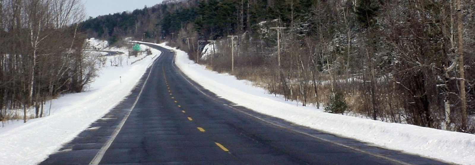
In colder destinations, ice can pose a serious safety risk on roads, causing drivers to lose control of their vehicles. But scientists have developed a technology designed to limit the risk of winter driving: road surfaces that can de-ice themselves. These surfaces are being used by highway planning agencies around the world, from Europe to the USA.
These surfaces are made with a salt potassium formula and gradually release de-icing salt. Not only does this make roads safer for drivers, but it also saves councils money on de-icing road-clearing efforts.
Electric cars are growing in popularity every day, so it makes sense that transport agencies are building roads with electric vehicles in mind. But one issue with these cars is range. While electric vehicles can now go much further on a single charge than they could previously, battery range can still be an issue for those traveling long distances.
So scientists have developed roads that can charge cars as they drive. Electric rails or embedded magnetic fields are laid beneath road surfaces and energy transfers to the vehicle via a coil inside the car. This energy then charges the car’s battery. These roads are completely safe to walk on, even in the rain, so there’s no safety risk to pedestrians.
Dynamic charging, Electric Priority Lanes have been tested in the UK, and the very first electrified road opened in Sweden in 2018. This dynamic charging technology is likely to be adopted by more transport agencies in the future, improving roads for electric vehicle drivers.

